Predict maritime risk. Confirm threats. Act in time.

LMI identifies where maritime risk is rising, tasks the right satellites and sensors to investigate, fuses the evidence and delivers intelligence for faster, more confident decisions.

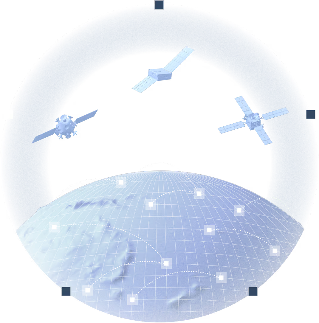
Orbital AI runs the loop, in orbit and on the ground. Operational today.

Traditional Earth observation waits to be tasked. Orbital AI does the tasking.

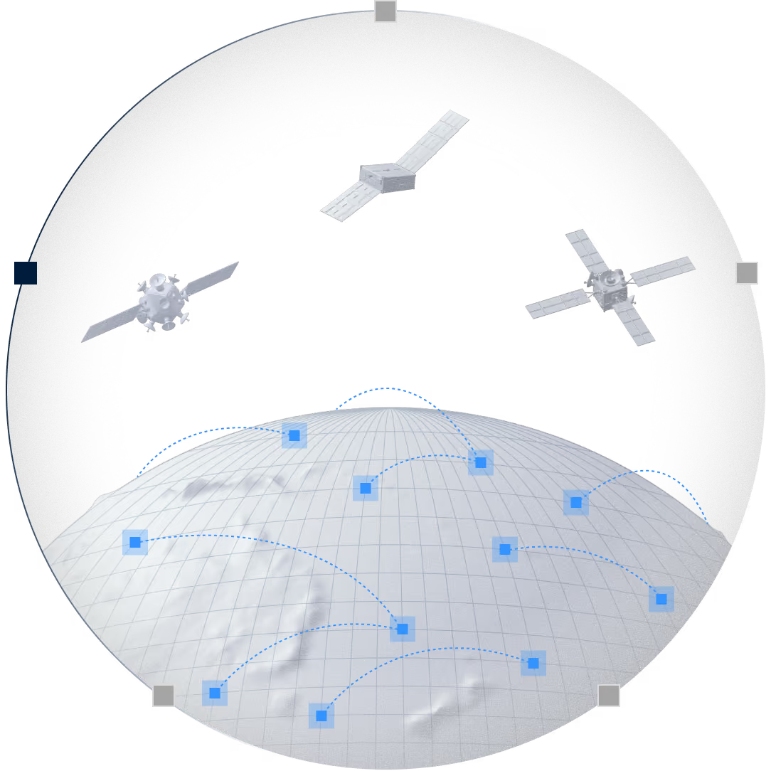
For every predicted risk, Orbital AI determines which eyes and ears can provide the clearest answer. It then tasks the right combination of optical, SAR, RF and third-party sources to confirm a threat or rule it out.

The sensors are already in place. Orbital AI puts them to work on the risks that matter.

01. Risk prediction

02. Orchestration

03. Orbital processing

04. Fuse & confirm

05. Learning loop

Watching everything is not affordable. Watching the right thing is.

Over three days in a single contested strait, around 160 satellite acquisitions may be available to help identify a handful of suspicious vessels. Bought commercially, that would represent more than €1 million in imagery, most of it unlikely to add anything useful.

Instead, Orbital AI selects only the few acquisitions that matter, guided by predicted risk. The same waters, a fraction of the cost, and every capture taken for a reason.

Every available opportunity

Around 160 acquisition opportunities over three days. Purchasing every available image would cost more than €1 million, with much of it capturing low-value activity.

What Orbital AI acquires

Just six targeted acquisitions, selected automatically based on predicted risk. Every image is captured for a reason, reducing cost while focusing on the events that matter most.

01
RISK PREDICTION

01

RISK PREDICTION

Know where risk is rising

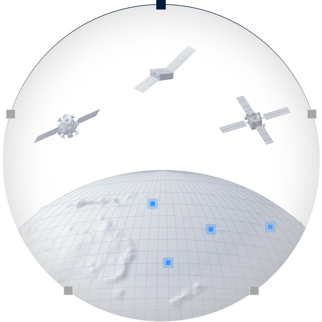
Orbital AI builds a behavioural model of an EEZs operating area and scores changes in movement, activity and proximity to the assets that matter most. Risk is projected hours and days ahead across both position and time, producing a ranked list of what to investigate first.

BEHAVIOUR MODELS
PATH PREDICTION
RISK SCORING
CRITICAL INFRASTRUCTURE

02

ORCHESTRATION

Automatic tasking turns risk into a collection plan

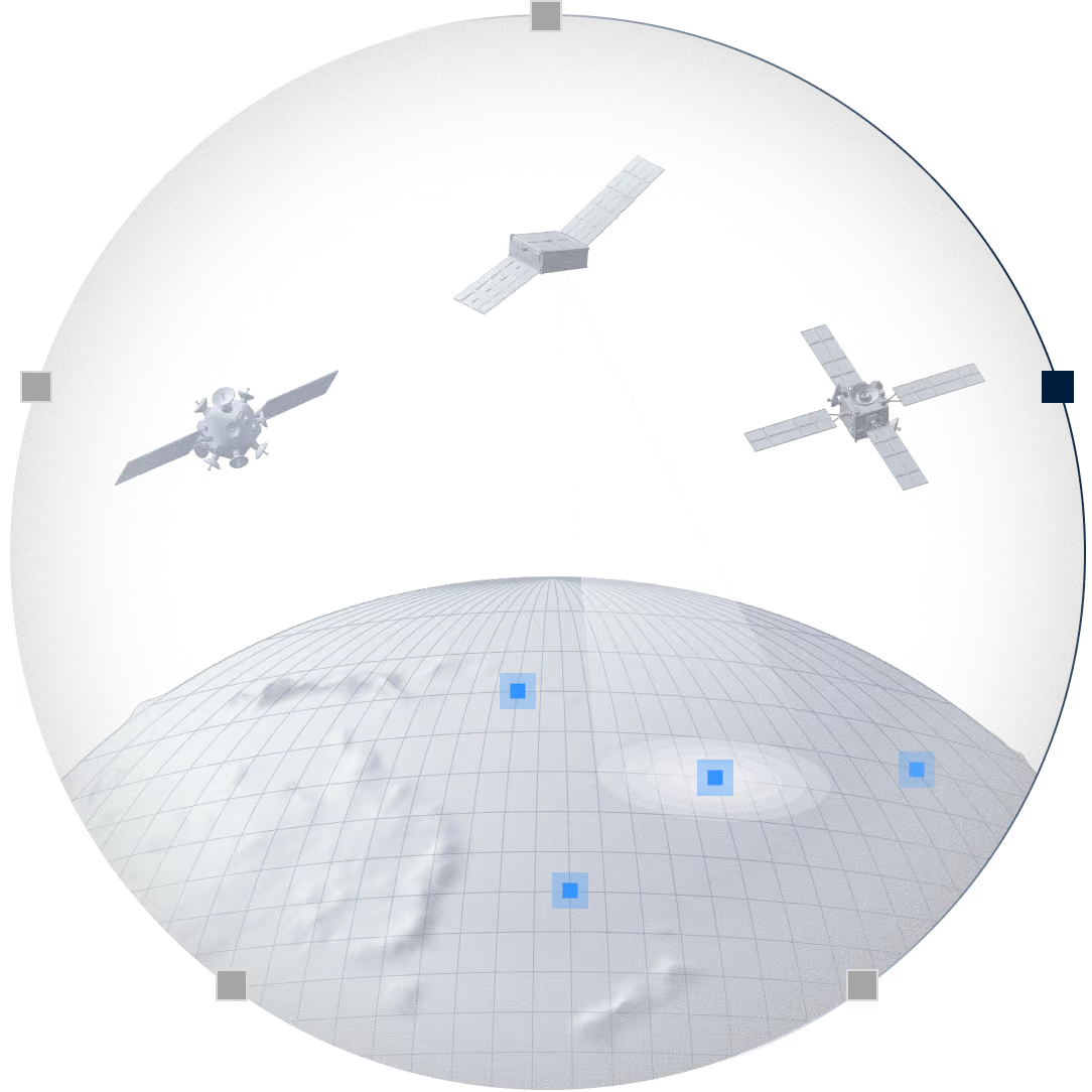
When risk rises, Orbital AI selects the best available combination of optical, SAR and RF satellites from a network of over 100 spacecraft. It plans collection around where a vessel is likely to be, accounting for coverage, timing, weather and urgency. Where authorised, tasking is issued automatically through operator APIs.

OPTICAL
sar
rf
3rd party

03

ORBITAL PROCESSING

Detect in orbit. Decide sooner.

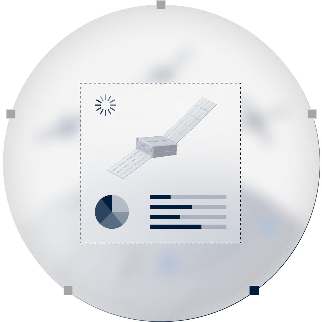
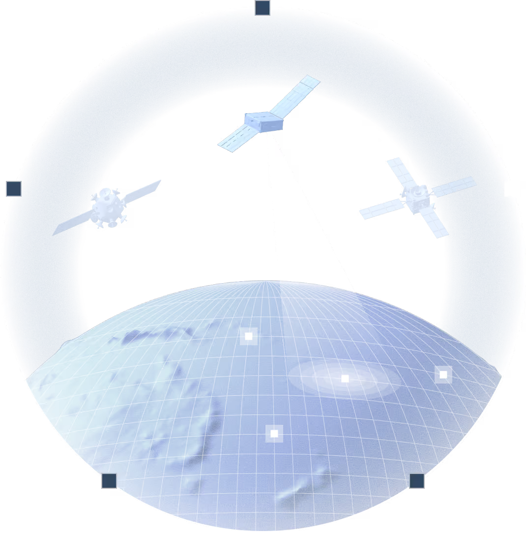
On satellites equipped with Orbital AI, an observation covering hundreds of square kilometres can be analysed in seconds and leave orbit as a 200-byte detection packet rather than a 3 GB file to be analysed. Insights reach the ground in under minutes, compared with the hours a conventional downlink can take.

ORBITAL AI
EDGE PROCESSING
DETECTION
CLASSIFICATION

04

FUSE & CONFIRM

Confirm the threat or rule it out

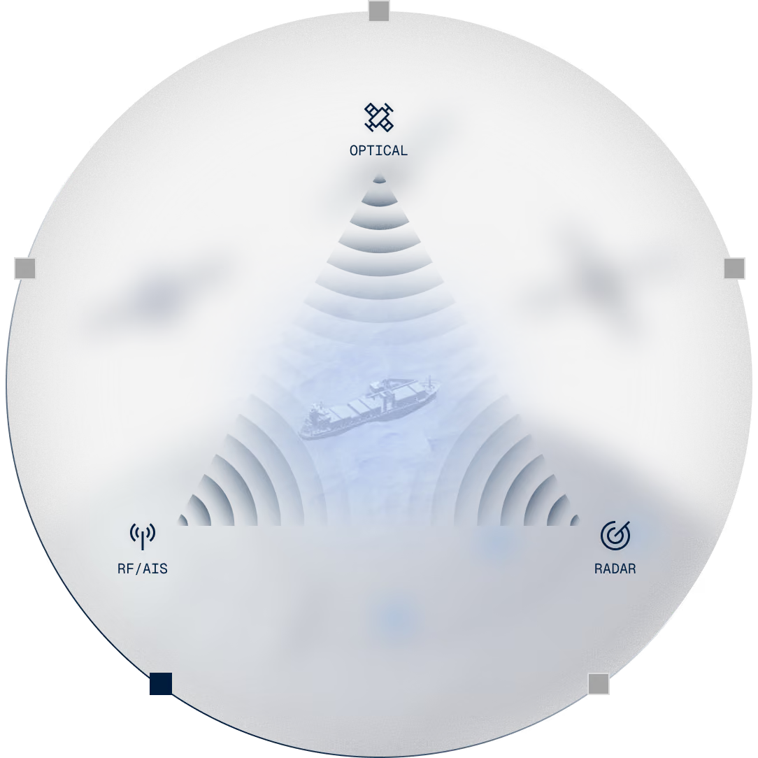
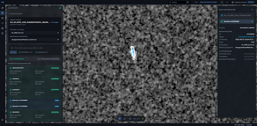
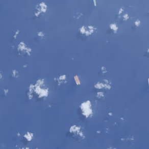
Optical, SAR and RF detections are fused with AIS and third-party data to establish what is happening and with what confidence. A vessel with no signal is dark. A signal with no vessel is spoofed. Ruling a contact out matters as much as confirming it.

DATA FUSION
DARK ACTIVITY
SPOOFING
ALERTS

05

LEARNING LOOP

Every result sharpens the next prediction

Confirmed activity and cleared events update the operating picture. The system improves its understanding of normal behaviour, emerging risk and where to focus the next collection effort.

PATTERN OF LIFE
CONTINUOUS LEARNING

One intelligence loop. Sea to orbit and back to action.

Orbital AI turns separate signals into a continuous decision loop. It predicts risk, then automatically tasks the satellites and sensors best placed to investigate. AI onboard identifies what matters at capture. Intelligence from sea, space and ground then confirms a threat, or rules it out. Each result improves the next prediction.

Intelligence onboard. Insight down.

A critical advantage is onboard intelligence. Ubotica is a world leader in processing Earth observation data in orbit, with a record of firsts across multiple missions. On satellites equipped with Orbital AI, observations can be analysed as they are captured, allowing vessels and activity of interest to be detected and classified before the full image reaches the ground.

What comes down is compact, actionable intelligence: location, classification, confidence and track. Less data moves. The answer arrives sooner.

Moving raw imagery between organisations is slow and creates a heavy handling burden. Moving an insight does not. It is small and specific enough to reach the person at the end of the chain.

classification:
cargo vessel
Detection Confidence:
98.7%
latitude:
36.8247° N
longitude:
14.5123° E
Heading:
127° SE
Speed:
13.4 KN
Estimated Length:
184 m
Track ID:
MT-28491-A
Last Update:
14:32:08 UTC

Built for a multi-modal world. Many sources. One intelligence picture

No single source sees the whole picture. Orbital AI orchestrates optical and SAR imagery, processing observations in orbit where available before delivering the resulting insights to the ground.

LMI then fuses those insights with RF sensing, AIS and other available data sources, bringing broad-area awareness, targeted investigation and corroborating evidence into one intelligence picture.

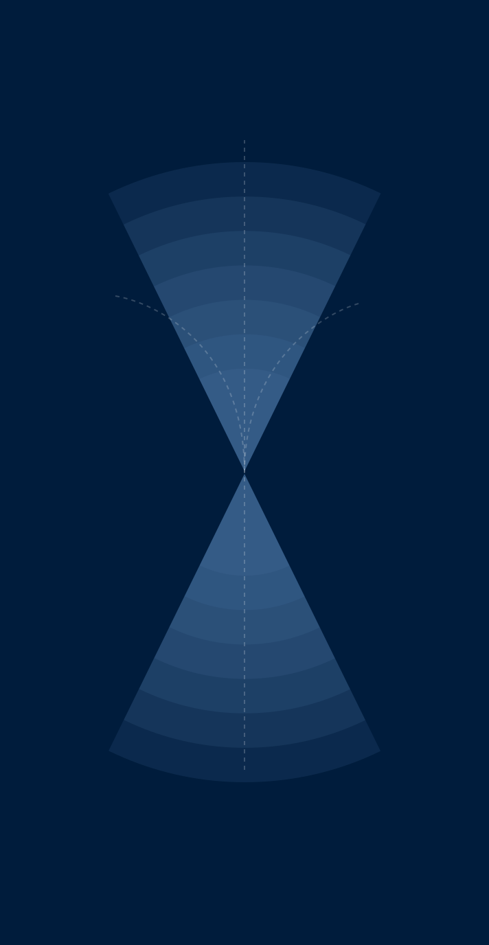
Each modality operates at a different scale. A single RF acquisition can cover around 250,000 km², while high-resolution optical imagery can examine a vessel in detail. LMI uses each source for what it does best.

orbital ai
Optical
sar
RF & AIS
vessel confirmed

Operational today. Ready for the waters you protect.

Start with the waters you protect, a mission area or a critical asset. Expand and evolve as operational priorities change.

Smarter coverage

Direct digital and physical assets towards the highest-priority areas.

Earlier warning

Identify rising risk before it becomes an incident.

Persistent watch

Continuous observation across identified threats

Infrastructure protected

Watch cables, pipelines, offshore energy assets and sea lanes without treating every square mile equally.