Live Maritime Intelligence (LMI) gives navies, coastguards and the agencies alongside them a live, prioritised view of risk across your maritime domain. It automatically tasks the best available sensors to confirm a threat or rule it out, and delivers the evidence with it. Operational today.
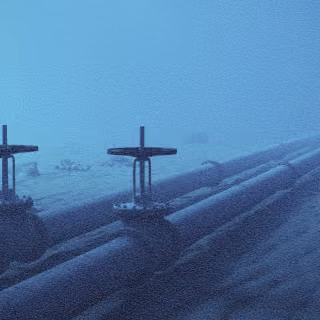
Nations must secure vast maritime domains and the cables, pipelines and energy assets beneath them, with finite ships, aircraft, sensors and people.
The sea is too large to watch equally. What lies under it is too important to leave exposed.
Threats exploit the gaps
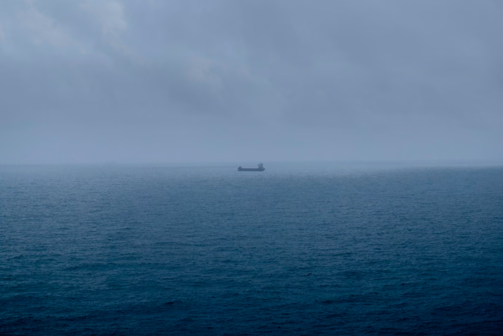
Shadow fleets, dark vessels and grey-zone activity move through the maritime domain. They conceal their identity, exploit blind spots and move faster than traditional systems can respond.
Data arrives fragmented and late
AIS, patrol aircraft, imagery, RF and coastal radar each hold part of the picture, and analysts reconcile them by hand. By the time the picture resolves, the vessel has moved.

LMI turns the maritime domain into a live risk picture. Operators see where risk is rising, what the evidence confirms and what needs attention now.
Instead of watching every square mile equally, LMI directs available sensors towards the highest-priority risks. Orbital AI runs the loop underneath: predict, task, confirm, deliver.
Smarter coverage
Focus limited resources where they count.
Earlier warning
Identify rising risk before it becomes an incident.
Persistent watch
Keep priority risks in view as they move.
Infrastructure protected
Direct attention towards cables, pipelines, offshore energy assets and sea lanes.

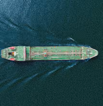
Shadow-fleet monitoring
Track vessels attempting to evade detection.

Sanctioned vessel tracking
Identify movements, associations and patterns that warrant investigation.

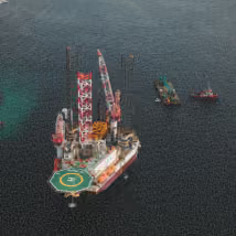
Offshore energy security
Persistent attention on the assets, exclusion zones and approach routes that operators cannot move.

Dark vessel detection
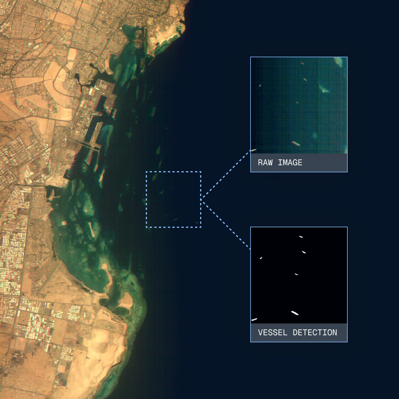
Find the contacts that appear in imagery and nowhere in AIS, and the AIS positions with no vessel underneath them.

EEZ awareness
Build a live picture across the whole zone, not only where patrols can reach.

Critical infrastructure protection
Prioritise changing behaviour around cables, pipelines and offshore energy
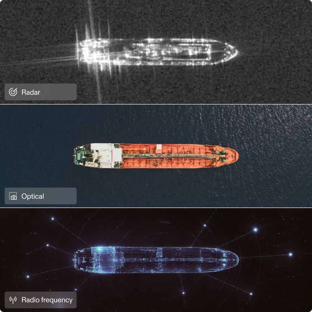
LMI selects the best combination of optical, SAR and RF satellites and maritime sensors for each investigation. It accounts for coverage, timing, weather and urgency, then tasks them automatically, with human approval where required.
SAR sees through cloud and darkness. Optical confirms visually. RF reveals emissions and activity. Together, they confirm what is there.

LMI delivers an actionable intelligence picture—not a raw observation.
Position, classification, heading and speed are fused with AIS and other maritime data, with the supporting evidence attached. When a reported signal and an observed vessel do not match, LMI highlights the discrepancy.
Confirm what matters. Rule out what does not. Act while there is still time.
%201.avif)

Pioneers of Orbital AI, proven across missions with ESA and NASA JPL. Hundreds of thousands of inferences flown. The first satellite able to decide for itself what was worth a closer look.
The new model for maritime security: predictive, persistent, and built for the scale of the sea.